

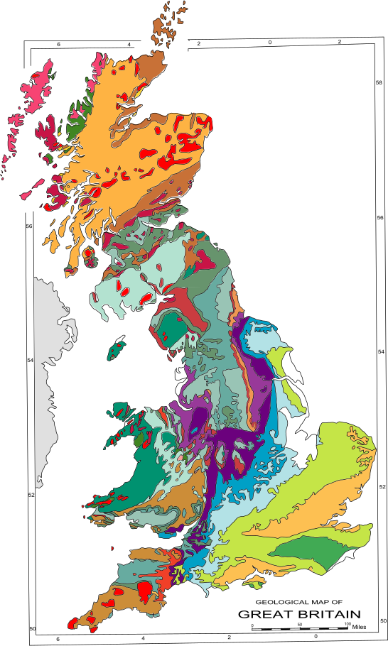
Location
Mexborough, South Yorkshire
Sector
Education
Mining investigation was planned only where it could affect the new school.
Targeted drilling
01
The uncertainty
A school site was being considered for redevelopment while remaining in educational use. Localised mining constraints needed understanding before any investigation strategy could be defined, and no detailed layout was yet available.
02
What we established
Mining risk was concentrated in localised areas rather than across the whole site.
03
What changed
The school gained a basis for planning investigation only around areas that could materially affect the scheme, rather than assuming a site-wide mining drilling programme.
04
What was avoided
A site-wide mining-specific drilling programme.
05
How we got there
- Reviewed mining records, geological mapping, historical boreholes and desk-study evidence
- Assessed recorded mining, shallow coal seams and historical changes in ground level
- Distinguished localised higher-risk areas from the rest of the site
- Defined when targeted investigation, monitoring and construction precautions would be needed
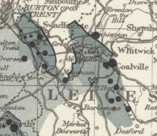
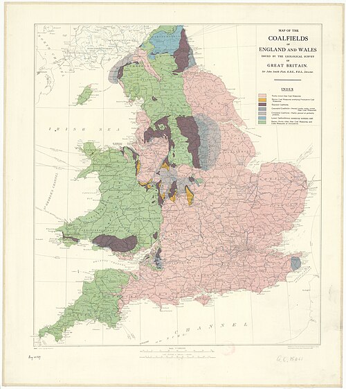
Services on this project
Coal Mining Risk Assessment
More of our work
All projects →Get a quote for your site.
Send us the address and what you’re planning. A senior consultant will reply with a quote and the right first step, usually within one working day.
✓ Free, with no obligation
✓ You don’t need to know which service you need
✓ Reviewed by a senior consultant